Thursday, June 19, 2014

Cheyenne and Laramie

Yesterday, I saw two southeastern Wyoming cities.

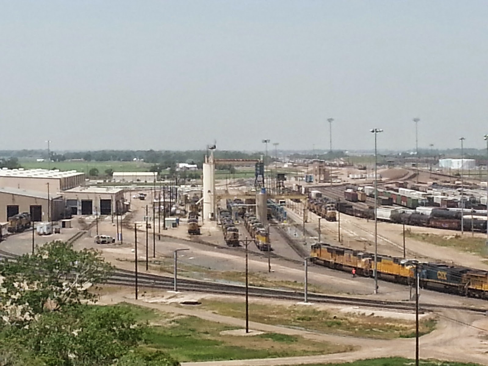
Cheyenne is barely in Wyoming, but it's still the capital.  It's a very "Western" town, and they've done a lot in the downtown area to tell the history.  Still, a lot of the old buildings aren't there anymore, so you have to look at pictures and do a lot of imagining.  They DO have a great old Union Pacific railroad depot, which serves as their visitor center; and they have these cool boots that have been painted up with different themes and placed all over town.  In a park, I saw the biggest locomotive ever made, the "Big Boy 4004," which was especially made for the Rocky Mountain trip from Cheyenne to Ogden, Utah, and back.


Between Cheyenne and Laramie, the Rockies rose to 8,640 feet.  Just before Sherman's Summit, there was a stop in the median where the "Tree in the Rock" is located.  When the Transcontinental Railroad came through the pass, the men working on the track found this pine growing up out of a rock, and they curved the track slightly to miss it.  Some trains would stop to give the tree a drink of water, and travelers along the Lincoln Highway used it as a landmark, sometimes camping there.


The highest point on the Lincoln Highway was at the Summit.  Today, the Exit 323 Rest Area is there.  It has two monuments--a HUGE bust of Abraham Lincoln which overlooks the highway and a monument to the first president of the Lincoln Highway Association, Henry Joy.  Joy was the president of Packard Motors, and he loved to get out on the road.  This monument was first placed at his favorite camping spot on the LH in the nearby mountains, where he said he wanted to be buried.  He wasn't buried beneath it, and the monument has been moved so that more people can see it and to protect it from vandals.


In Laramie, the views of the Rockies (this range is known locally as the "Snowies") are tremendous from almost anywhere in town.  This is the home of the University of Wyoming, and I visited their art museum, which had a lot of Western-themed works and a gallery of astro-photography (pictures of space from telescopes).  I snapped a picture of their football field, which was built in honor of World War II veterans and is called War Memorial Stadium.  I was wearing my UW shirt, so I fit right in.  Go Cowboys!!


Wednesday, June 18, 2014

Western Nebraska

Yesterday, I really began to feel like I was in the "Western" part of the U.S.  The amount of cattle I saw and the historic sites I visited showed me that the people in this part of our country had a lot to do with the perspective of "The West" that the rest of us still have.


This original Lincoln Highway bridge near Overton has been preserved.  It sits between US 30 and the Union Pacific tracks.


In Gothenburg, they have moved an old Pony Express Station to a park in town so more people can visit it.  The man inside told me about the year-and-a-half in which the Pony Express operated.  He said that stations were set up every 10 miles or so, and that riders rode about 100 miles at a time, switching horses at each station.  The coming of the telegraph ended the need for the service.


In North Platte, I saw the Buffalo Bill Ranch.  This is where Buffalo Bill Cody would rest in between tours of his Wild West Show and entertain guests.  Cody is famous for working with stagecoaches, railroads, and of course touring the country with his Western act.  Within site of the house was a huge modern rodeo stadium, and the biggest rodeo of the season was set to begin there the next day.


West of North Platte is the Union Pacific's Bailey Yard.  It's the largest railyard in the world, measuring about 8 miles long by 2 miles wide.  Trains go up and down these tracks all day and night, and they are all processed here in one way or another.  There's a diesel garage, a place to put sand in the engines for ballast, tracks on which to sort and connect cars, and a fueling station.  They have built a tourist tower called the "Golden Spike Tower" which is eight stories high.


Ogallala, Nebraska, had a restored canopy service station which served as a visitor center.  The statue of the friendly attendant is called "Hugh."


Ogallala was famous as a "Wild West" cowboy town.  Many of the undesirables who met their end there in shootouts, as well as early innocent settlers, were buried in a place called Boot Hill.  The name comes from the fact that so many were buried "with their boots on," often in a canvas sack.  Most of the bodies were moved by their descendants when a city cemetery was established, but the cemetery here remains with the typical wooden "headstones" and a statue of a "trail boss."  These men led the cattle drives from Texas to this part of Nebraska, trying to get cattle onto trains headed east or west.


Kimball, Nebraska, not far from Wyoming, has a really wierd piece of playground equipment.  It's actually part of a ballistic missle, now made into a kid's play set.


Finally made it into Wyoming!  Cheyenne, the capital, is only about 30 miles across the border.  That's where I spent the night.


Tuesday, June 17, 2014

Where the Oregon Trail began


In Grand Island, Nebraska, is the only remaining section of original, uncovered Seedling Mile on the entire Lincoln Highway. (Remember, these were one-mile stretches that were paved in the 19-teens to show communities how nice concrete was for driving and to encourage them to build roads)  It is no longer in use, and is marked by a historic marker.  It's behind Kensinger's Service Station, built in 1937.  That station was featured on the documentary "A Ride Along the Lincoln Highway," which inspired my trip.  About a half mile away I saw the Seedling Mile Elementary School.


Shelton, Nebraska, a little west of Grand Island, was a pretty town with its own Lincoln Highway Information Center.  I took some photos, but I didn't have time to call the number on the door and see the info center, so I headed on down the road.


At Interstate 80 near Kearney, I toured the Great Platte River Archway Museum.  This thing was built right beside the interstate, then they re-routed the traffic one night and moved it into place with those creepers like they move the rockets at the Space Center.  You ride up an escalator to start the tour, then put on a pair of headsets.  The commentary, which sounds like people who traveled to Oregon, California, or Utah in the old days, is radio/digitally controlled room-to-room, so you hear a new commentary as you walk into each exhibit/room.  It was way cool!  At one point, in the "diner," you can look out two windows onto I-80 below.


Fort Kearny State Historic Park, about 5 miles from Kearney, is the actual site of the fort which was placed here by the U. S. government to help protect settlers moving west.  It was, for all practical purposes, the "starting point" for those taking the "Overland Road."  Many traders, families looking for new lives, Mormons seeking a new start, and miner-49ers stopped here for supplies or protection.


From the fort, I traveled south into Harlan County.  There's a dam and reservoir there; and, at each end of the reservoir, they've protected a "town" of prairie dogs so that people can view them.  They get wise to you, so only the ones farther away from the viewing area do much scurrying around while you're around.  Still, it was SO cool!!  I bet the farmers look at them as pests.