Tuesday, June 24, 2014

California, Here I Come!

Monday started with the drive over the summit of the Sierra Nevada Mountains, just across the California line from Reno.  These mountains, while higher than those in Nevada, were covered with trees, mostly tall pines.  I had basically not seen a tree all the way across Wyoming and Nevada until I came to the Humboldt River valley in eastern Nevada, and then only a few.  The place where the highways cross over the mountains is Donner Summit, named for the party of pioneers traveling the California Trail who couldn't get over the mountains in time and suffered terribly in the winter here.


On the way down out of the mountains toward Sacramento, I passed through Auburn, a town proud of its "Gold Rush" heritage.  They have preserved and re-used much of their "old town," and they have a HUGE sculpture of a famous citizen panning for gold in a prominent place.  As in many towns near the construction of the Transcontinental Railroad in California and Nevada, they had their own "Chinatown" because there were so many Asians working on the railroad.


This is what Lincoln Highway signs look like in this part of California.


Sutter's Fort in Sacramento, near where the first gold was discovered in the 1840s, was also a stopping-off place for new settlers in the area (sort of the place where they could stop, rest, and say "we made it").  It has been reconstructed and is a state historic site.


The Lincoln Highway didn't go straight into San Francisco from Sacramento.  It turned south, through the farming territory of Central California, then circled around toward Oakland, where drivers caught the ferry into San Francisco.  On my way through this territory, I saw a lot of vineyards and fruit trees in the San Joaquin area, then stopped for the night in Tracy.  Here is an LH monument I saw in Galt.


My last stop of the day was at a convenience store I had heard about in Lathrop.  It's decorated as if an alien spacecraft had crashed into its roof.  Kooky, huh?


Monday, June 23, 2014

Nevada

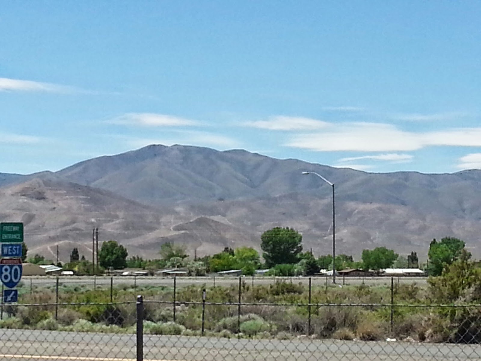
Have spent the last couple of days crossing Nevada.  It is a vast, beautiful place with lots of wide open desert spaces between mountain ranges.  Here are a few pictures to show you what I've been seeing...


Like the immigrants of the 1800s, I'm happy to be nearing California!

Friday, June 20, 2014

A Day in Utah

Departed Evanston, Wyoming, this morning, and was in Utah 5 minutes later.


At a rest area, I got some information about Salt Lake City and took this photo.


Temple Square, Salt Lake City photos...
Brigham Young, who led the Mormons
to Utah, welcomes visitors to the square

This is the Salt Lake Temple of the
Latter Day Saints Church.  It's sacred,
and is NOT open to the public

This is the Tabernacle, right behind the
Temple.  It's the home of the famous
Mormon Tabernacle Choir

Left Temple Square and went one block
east.  At the end of State Street is the
Utah State Capitol building 


Snapped this photo on the way out of Salt Lake City when I stopped for gas.  These are the mountains just southeast of town on which Olympic winter events were contested.


The Great Salt Lake is an amazing physical feature, but it is pretty unpleasant.  The smell is not so great, and there are dead bird carcasses in the sand/salt.  I guess they fly in, look around for food and water, and die.  I saw the Lake near the Saltair Resort.  This venue is a place where concerts are held, but the two pavilions which preceded it on the same spot were serious vacation spots.  They were once called the "Coney Island of the West."  Across the interstate highway is the Kennecott copper smelting operation, a reminder that mining is still big business around here.  As I drove west across the salt desert, I saw a big salt extraction plant near the Lake belonging to Morton.


Footprints in the salty sands.  If it's dry,
it's crusty.  If it's damp, it's gooey

As I crossed the 40-mile salt desert, I couldn't help but be reminded of the settlers who tried to cut time off their trip to Oregon or California by crossing this mess.  I'm amazed that any of the pioneers' covered wagons actually made it across the crusty, sticky, gooey muck.  The Bonneville Salt Flats are near the western end of the salt desert.  This is an area of the harder, firmer salt where land speed records have been regularly set.  It is also the whitest part of the salt desert.  Scientists say that the Great Salt Lake of today was once a much larger inland sea called Lake Bonneville.  This is supposed to be all that remains of the western part of that sea.


Wendover, at the Utah/Nevada border, has a line across the main street to show you where the state line is (the Nevada part is called "West Wendover").  Nevada allows gambling, and there are casinos here that remind one of Reno or Las Vegas.  Wendover Will, the big metal cowboy sculpture, guards the western entrance into Wendover.