Tuesday, June 17, 2014

Where the Oregon Trail began


In Grand Island, Nebraska, is the only remaining section of original, uncovered Seedling Mile on the entire Lincoln Highway. (Remember, these were one-mile stretches that were paved in the 19-teens to show communities how nice concrete was for driving and to encourage them to build roads)  It is no longer in use, and is marked by a historic marker.  It's behind Kensinger's Service Station, built in 1937.  That station was featured on the documentary "A Ride Along the Lincoln Highway," which inspired my trip.  About a half mile away I saw the Seedling Mile Elementary School.


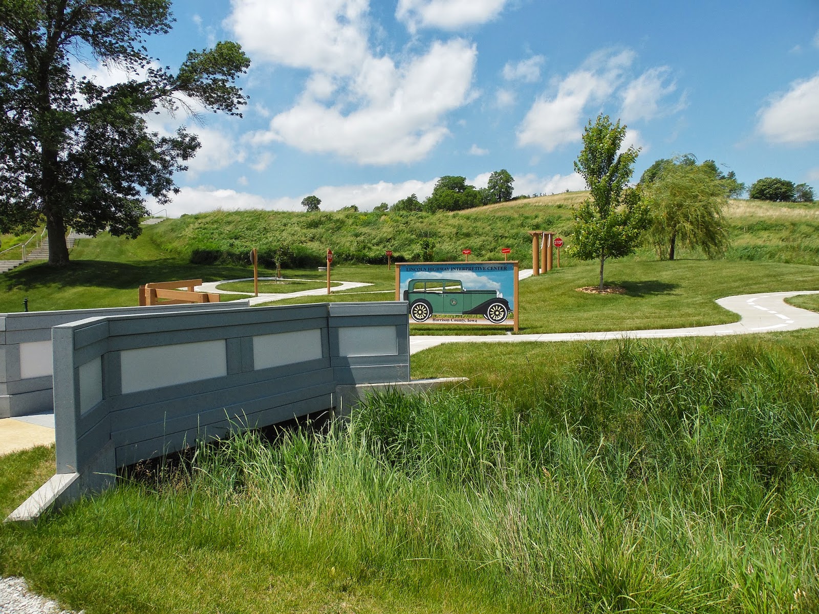
Shelton, Nebraska, a little west of Grand Island, was a pretty town with its own Lincoln Highway Information Center.  I took some photos, but I didn't have time to call the number on the door and see the info center, so I headed on down the road.


At Interstate 80 near Kearney, I toured the Great Platte River Archway Museum.  This thing was built right beside the interstate, then they re-routed the traffic one night and moved it into place with those creepers like they move the rockets at the Space Center.  You ride up an escalator to start the tour, then put on a pair of headsets.  The commentary, which sounds like people who traveled to Oregon, California, or Utah in the old days, is radio/digitally controlled room-to-room, so you hear a new commentary as you walk into each exhibit/room.  It was way cool!  At one point, in the "diner," you can look out two windows onto I-80 below.


Fort Kearny State Historic Park, about 5 miles from Kearney, is the actual site of the fort which was placed here by the U. S. government to help protect settlers moving west.  It was, for all practical purposes, the "starting point" for those taking the "Overland Road."  Many traders, families looking for new lives, Mormons seeking a new start, and miner-49ers stopped here for supplies or protection.


From the fort, I traveled south into Harlan County.  There's a dam and reservoir there; and, at each end of the reservoir, they've protected a "town" of prairie dogs so that people can view them.  They get wise to you, so only the ones farther away from the viewing area do much scurrying around while you're around.  Still, it was SO cool!!  I bet the farmers look at them as pests.


Monday, June 16, 2014

From Boys Town down the Platte River


Saturday night brought some heavy winds, thundershowers, and hail to eastern Nebraska.  It was pretty scary, and most of it was from 11 to 3 in the morning.  So, I slept in before heading into Omaha to see Boys Town.  This is the place started by Father Flanagan and featured in the movie with Spencer Tracy and Mickey Rooney.  Today, they have almost 20 locations around the country (serving troubled boys AND girls), but this one remains the "headquarters."  One of the boys was working the visitor center desk, and he got me started on the car audio tour.  They have a great museum, and you can look around the town to see the schools, the residences, the post office and police station, as well as the historic places like the chapels and Father Flanagan's home.  He's buried in the catholic chapel.  In the museum, I saw Spencer Tracy's Oscar for Best Actor, which he gave to Father Flanagan.  For years, the boys attached stamps to a ball, eventually making Ripley's Believe It or Not by forming it until it was 32 inches around and over 600 pounds!  It's estimated to contain over 4.5 million stamps!!  Boys Town is highly inspirational; it shows how much good can be done by selfless people who have faith.


Fremont, Nebraska has a statue of Lincoln along the Lincoln Highway.  He's holding a copy of the Emancipation Proclamation.


In a town called Columbus, they have a monument to Andrew Jackson Higgins.  He's the guy who invented the landing craft that were used in World War II at D-Day.  The monument has soldiers charging up the beach with the boat in the background.  Very impressive!


The Platte River, which runs across south central Nebraska, was followed by the Oregon, California, and Mormon Trails as well as the Transcontinental Railroad and the Lincoln Highway.  All along the way are markers of different types.  This one tells where a post office used to be that was a landmark for travelers.


The original 1913 Lincoln Highway ran through Duncan, Nebraska, north of the Union Pacific railroad tracks.  Future re-alignments kept south of the tracks and avoided crossing them so many times as the old roads had done.  The original highway went right through these trees in Duncan.


An original section, bypassed by later alignments, that is still passable is the Gardiner Section just west of Duncan.  After stopping to read a historical marker that described the one-room school that was once nearby, I crossed a100-year old bridge.  I had already met two pickups that had crossed it, so I figured it was safe.


The little town of Clarks, also north of the tracks, has a great mural of Nebraska that I believe I read was painted by local high school students.  Note the brick pavement; I don't know if it's original or if it was just part of beautifying the town.

Spent the night in Grand Island, Nebraska.


Sunday, June 15, 2014

The Prairies of Iowa

When I got my own copy of the PBS documentary about the Lincoln Highway, one of the "extra" features was a report on a town called Woodbine, Iowa.  The residents there, trying to attract business off of US 30 (the modern "Lincoln Highway"), had re-paved their brick section of the old LH in town using the original bricks.  They had also established the Brickstreet Station, a coffee shop/LH souvenir shop.  Though it was not open when I went through town, I found it easily.


A few miles down the road, just outside of Logan, was the Museum of Religious Arts.  Its primary exhibit, the King of Kings wax museum, was actually on display at Florida's Sunken Gardens for many years before it was sold to people here.  The wax figures show significant scenes from the life of Jesus, and they are stunning in their beauty.  No pictures are allowed there.  The rest of the museum has religious art and a variety of donations from churches and individuals.  These include church equipment, furniture, and clothing from many denominations.  There are outdoor displays as well, including a "Calvary Hill" with three crosses and a pond where the "walking on the water" is portrayed with metal sculptures.  For people of faith, it is a must-see.

My next stop was the Harrison County Historic Village/Loess Hills Museum in Missouri Valley.  This is actually an Iowa Welcome Center, but it has buildings from the 1840s and 50s, an extensive Lincoln Highway exhibit, and information about the Loess (pronounced "luss") Hills of the area.  The hills, made of a material like clay, only very dry, rise about 100-200 feet all around.  They erode easily, often making visible changes in the landscape during a single person's lifetime.  They also form beautiful cliffs in some places.


Council Bluffs, Iowa, just across the Missouri River from Omaha, Nebraska, got its name because Lewis and Clark met with local Indian leaders on the bluffs overlooking the river in the early part of their cross-country expedition.  The monument, with breathtaking views of the river and Omaha, is near the spot where these meetings took place.


Also in Council Bluffs, the Western Historic Trails Center is an Iowa Welcome Center that also serves as a museum of the westward expansion of the United States.  The Oregon, California, and Mormon Trails are featured in indoor and outdoor exhibits.


The Bob Kerrey Pedestrian Bridge, named for a Nebraska senator, links Council Bluffs and Omaha for pedestrians and bicyclists.  It rises some 60 feet above the Missouri River, and its views are astounding.  The wind was whistling at 25-40 mph, so I didn't stay long, just long enough to get a pic or two.


Goodbye Iowa; hello Nebraska !